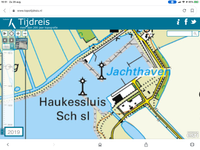
NET-AAU Wieringen De Haukes harbour
Town Wieringen De Haukes
Location De Haukes harbour
Position Lat (dms) 52°53’13” N
Position Long (dms) 5°55’57” E
QTH-locator JO22LV
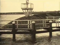
Year built 1832
Material Wood
Height construction (m) -
Height light (m) -
Range light (mi) -
Characterisic Deactivated 1930
Additional information:
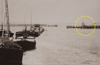
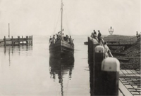
Please see NET-202 Wieringen front low. The harbour of De Haukes is outfitted with modern harbour-lights on the pier heads.
The fishing fleet of Wieringen (Wieringerwaard) can be recognized by WR (WRW) as vessel registration.
Last updated: August 2020